About
Texas Sustainable Coastal Initiative is a joint partnership with the Hazard Reduction and Recovery Center and the Center for Texas Beaches and Shores through the Institute for Sustainable Coastal Communities supported by funds from various agencies including NOAA/TX Seagrant, TX General Land Office and Coastal Services Center/NOAA.
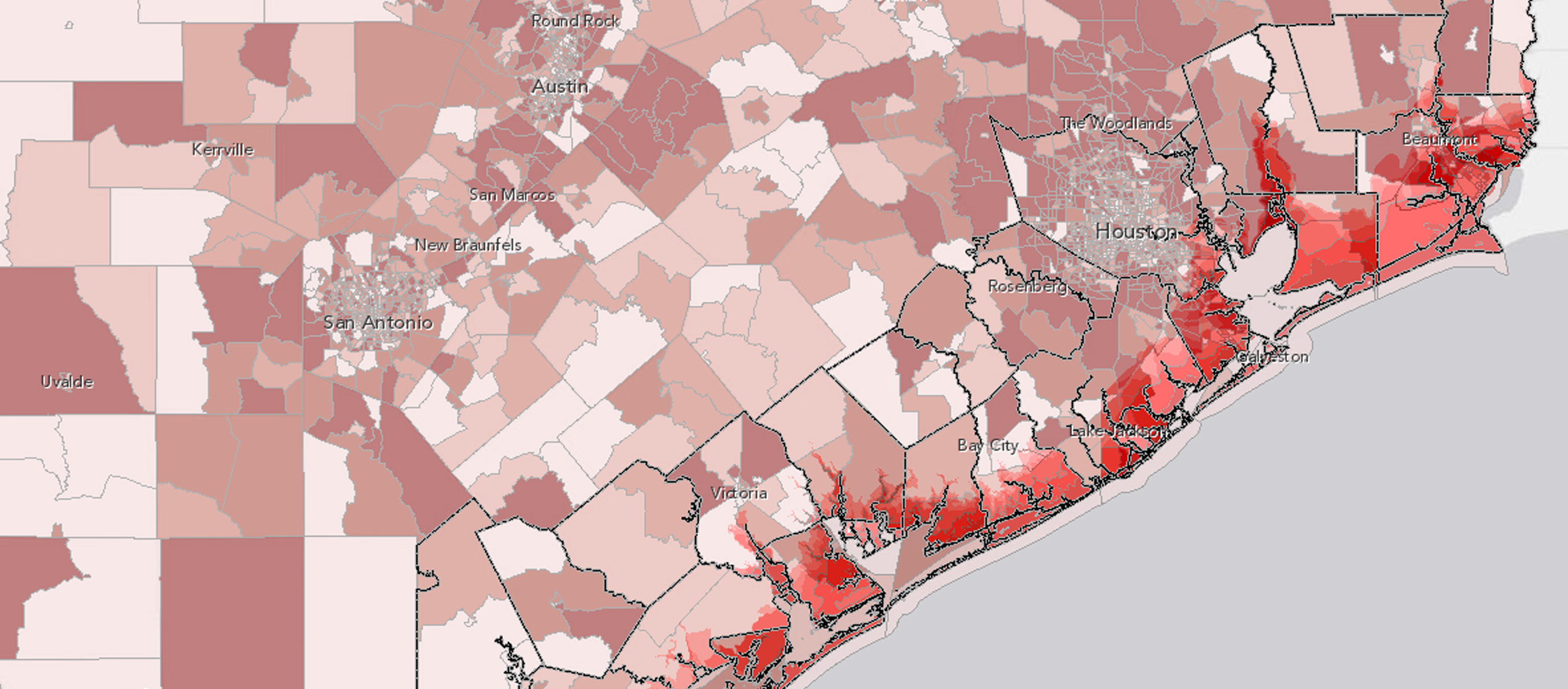
The following links are to Internet-based spatial decision support systems that allows users to identify and visualize critical issues related to numerous dimensions of development. Below each link, you will information about what information can be obtained from each Atlas and best fit your needs.
Texas Atlas
- environmental degradation
- natural hazard risks
- significant changes in land use patterns
Texas Coastal Communities Atlas
- environmental degradation
- natural hazard risks
- significant changes in land use patterns
Hurricane Evacuation Study
- environmental degradation
- natural hazard risks
- significant changes in land use patterns